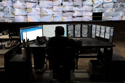


Surrounded by monitors showing camera views of the city, Detective Marco Christlieb works at the Real Time Crime Center, inside the ėŻ╠ę╩ėŲĄ Metropolitan Police Headquarters in ėŻ╠ę╩ėŲĄ on Thursday, Dec. 21, 2023.
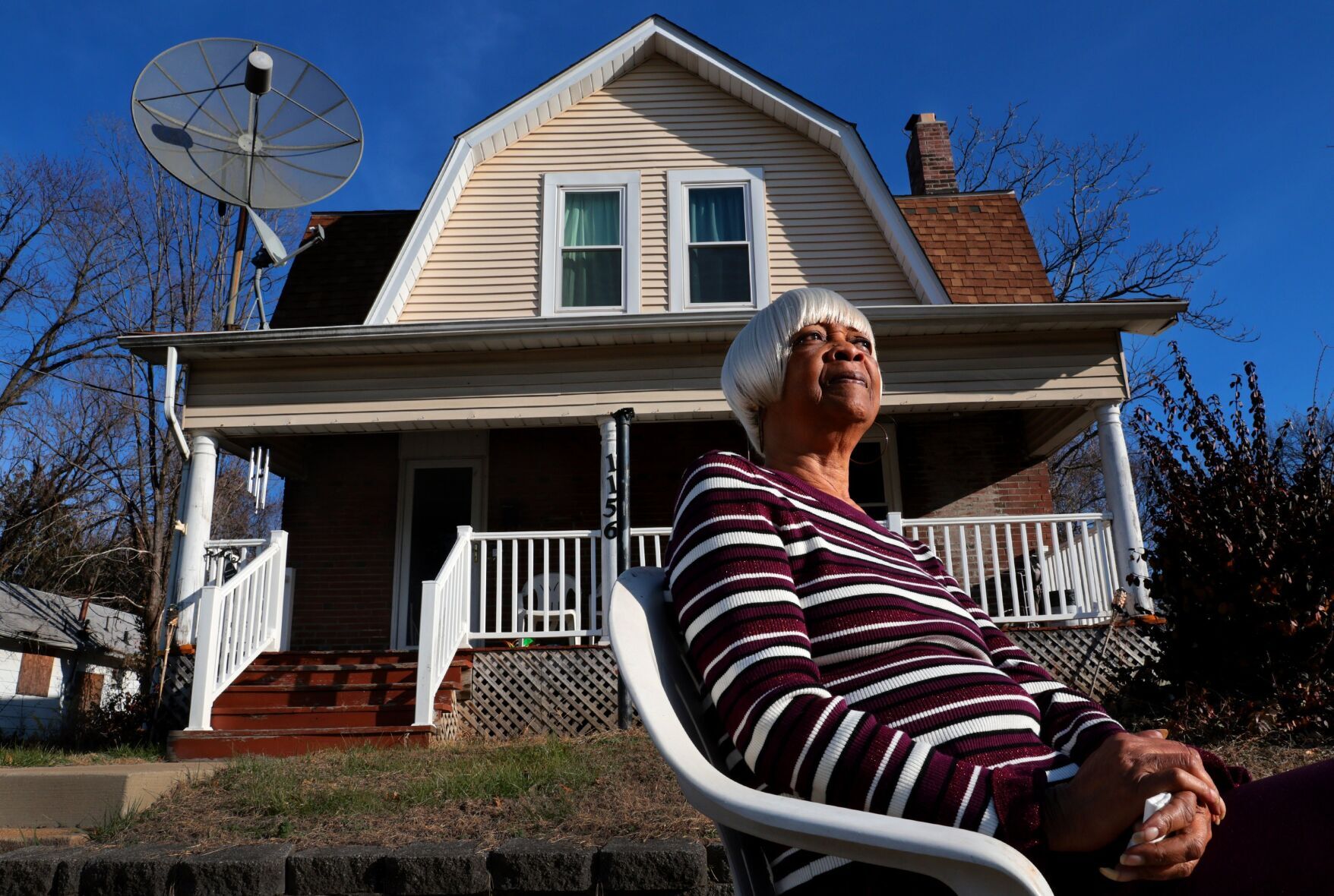
ST. LOUIS ŌĆö Ness Sandoval wanted to know what happens when thereŌĆÖs a massive investment in a very poor neighborhood.
And the new headquarters in north ėŻ╠ę╩ėŲĄ for the National Geospatial-Intelligence Agency, the federal defense mapping experts, provided the perfect opportunity to find out.
Would the investment reduce crime? Would it boost economic values in the area?
The ėŻ╠ę╩ėŲĄ University sociology professor, a mapping expert himself, worked with graduate student Tara Smith on a of crime trends in and around the site, which they published in 2020.
The study depended on detailed crime data with geographic coordinates for precisely locating incidents. The data came from spreadsheets that the ėŻ╠ę╩ėŲĄ Police Department had long published publicly each month .
People are also reading…
The researchers used the data to map crime hot spots around the future NGA campus. They found that rather than reduce crime, the NGA project had merely displaced it ŌĆö pushing it into nearby neighborhoods.
Afterward, Sandoval hoped to study the impacts of other big developments in the city, like the new CityPark soccer stadium or the ŌĆ£One HundredŌĆØ apartment tower on North Kingshighway near Forest Park.
But there was a problem.
In December 2020, the police department abruptly turned off its public spigot of detailed geographic crime data.
Violent crime was surging to historic highs in the city. Regional stakeholders wanted guidance on how to tackle the problem.
But the department never turned the data spigot back on, leaving community groups, researchers like Sandoval ŌĆö and the public ŌĆö without data key to understanding crime trends in the city. And though the department insists it is no longer able to publish detailed crime data for the public, it has provided it to insiders, the Post-Dispatch found.
ŌĆ£WhatŌĆÖs frustrating is that the data exists,ŌĆØ Sandoval said, noting that ėŻ╠ę╩ėŲĄ police surely still use geographic crime data internally. ŌĆ£This data belongs to the public. ItŌĆÖs a public good.ŌĆØ
Police spokesperson Evita Caldwell told the Post-Dispatch by email on Wednesday that the department ŌĆ£takes transparency very seriouslyŌĆØ and understands frustrations that the data is no longer available. But the loss was beyond the departmentŌĆÖs control, she said.
The police department has long blamed a major technology change in 2020 for its inability to keep providing detailed geographic crime data to the public.
To switch to a new way of tracking crime, called the National Incident-Based Reporting System, ėŻ╠ę╩ėŲĄ used a to buy a new computer system. When the department brought the system online in December 2020, its vendor, Optimum Technology, had not developed an alternative way for the city to continue publishing detailed crime spreadsheets for the public.
After four months, the department began posting simple, on its website in PDF files. But experts say those basic reports are no substitute for granular, geographic data.
ŌĆ£The loss of detail in time, place, and specifics about the incident is really disappointing,ŌĆØ said Bobby Boxerman, a doctoral candidate in the criminology department at University of Missouri-ėŻ╠ę╩ėŲĄ, who used the old data in research projects.
Thousands of other law enforcement agencies have also undertaken the NIBRS transition, though, and many of ėŻ╠ę╩ėŲĄŌĆÖ peer departments found ways to keep providing detailed incident data to the public, despite the challenges.
ėŻ╠ę╩ėŲĄ County police, for example, stopped publishing new monthly data on the countyŌĆÖs for about eight months while analysts constructed new incident-level spreadsheets based on the NIBRS format. When county police resumed publishing in September 2021, they did so even more frequently, weekly, than they had before.
Sandoval called the ėŻ╠ę╩ėŲĄ police departmentŌĆÖs website ŌĆ£embarrassingŌĆØ when compared with cities like Houston, New York and Baltimore.
ŌĆ£The city has fallen far behind where other cities are today,ŌĆØ he said.
Insider access
Sandoval, journalists and others have tried since 2021 to get detailed, geographic crime data from the department by making public records requests under MissouriŌĆÖs Sunshine Law. The department consistently denies them.
ŌĆ£There is no responsive record to this request,ŌĆØ wrote Erika Zaza, the departmentŌĆÖs Sunshine Law administrator, to Sandoval on Nov. 9. ŌĆ£The department no longer produces the crime reports in that format since we converted to a new system.ŌĆØ
But even as the department continued to take this stance with the public, it was providing similar data to researchers working on a city-funded project.
The cityŌĆÖs health department hired Washington UniversityŌĆÖs Institute for Public Health to since 2021. The initiative, a pet project of the last two mayors, used residents known as ŌĆ£violence interruptersŌĆØ to intervene in conflicts and, hopefully, reduce gun violence in three distinct areas of the city.
Because these target areas didnŌĆÖt align with ėŻ╠ę╩ėŲĄŌĆÖ traditional neighborhood boundaries, using the simple neighborhood-level crime totals provided publicly by ėŻ╠ę╩ėŲĄ police without specific location data for each crime would have resulted in an inaccurate analysis, said Theodore Lentz, an assistant professor at the University of Wisconsin-Milwaukee, who helped analyze crime data for the study.
ŌĆ£If all I have are area-level totals, IŌĆÖm limited to an analysis within those chosen boundaries,ŌĆØ said Lentz, who earned his doctorate in criminology from UMSL.
To evaluate the program properly, researchers needed detailed data with geographic coordinates for each incident, he said. And the ėŻ╠ę╩ėŲĄ Police Department gave them what they needed.
Each month, a police analyst would send the researchers a ŌĆ£geodatabaseŌĆØ file that they could open in ArcGIS, a commonly used mapping software. These files contained the same detailed data that ėŻ╠ę╩ėŲĄ stopped providing to the public after December 2020: incident number, type of offense, date, time, address, neighborhood, geographic coordinates, and more.
Neither Victoria Anwuri, the cityŌĆÖs health commissioner, nor Kimberly Vanden Berg, spokesperson for the health department, would answer questions from the Post-Dispatch about how arrangements were made between the cityŌĆÖs health and police departments and Washington UniversityŌĆÖs Institute for Public Health to share this detailed crime data with the researchers.
Caldwell, the police spokesperson, told the newspaper she was not aware of the data provided to other city departments, and could not comment.
Rich crime data
Prior to 2021, the ėŻ╠ę╩ėŲĄ police department was considered by some a leader in providing open data, faithfully posting a spreadsheet each month with details of every reported incident.
ŌĆ£We had this really rich crime data for like 10 years,ŌĆØ said Branson Fox, who led a study on the in ėŻ╠ę╩ėŲĄ in 2018 and 2019, when he was a statistical data analyst at Washington University.
Boxerman, the UMSL doctoral candidate, agrees. He used ėŻ╠ę╩ėŲĄŌĆÖ detailed data for his own research into fatal versus non-fatal gun violence, he said, and many of his mentors and colleagues used it in their projects.
ŌĆ£The geographic component really allowed researchers like me to see how crime is distributed,ŌĆØ he said, as well as how it affects different places and communities. And having the dates and times each incident occurred makes it possible to break down trends over time, he said.
In FoxŌĆÖs case, using ėŻ╠ę╩ėŲĄŌĆÖ detailed data enabled him and his fellow researchers to find that the risk for homicide and aggravated assaults in 2018 and 2019 was significantly higher near vacant buildings and vacant lots.
The study raised questions with public policy implications that Fox wanted to explore in a new study. Is the city increasing the risk for crime when it demolishes vacant buildings?
ŌĆ£We didnŌĆÖt get to do that work,ŌĆØ he said. COVID hit. Things slowed down.
But the real killer, he said, was that ėŻ╠ę╩ėŲĄŌĆÖ detailed geographic crime data was no longer available.
ŌĆśWe donŌĆÖt even have a timelineŌĆÖ
In April 2021, after the ėŻ╠ę╩ėŲĄ Police Department hadnŌĆÖt posted any crime data at all on its public website for four months, the department posted a on its ŌĆ£Crime StatisticsŌĆØ webpage.
ŌĆ£We understand the importance of this information,ŌĆØ the notice read. ŌĆ£We anticipate the information being available in late Spring.ŌĆØ
Privately, researchers and community stakeholders who depended on the detailed data were frustrated. One such group, a violence-reduction partnership led by members of the Institute for Public Health at Washington University, reached out in April 2021 to Emily Blackburn, the manager of the police departmentŌĆÖs crime analysis unit then. The group asked Blackburn for ŌĆ£inside intelŌĆØ on the departmentŌĆÖs failure to post any new crime files for months, according to emails obtained by the Post-Dispatch.
ŌĆ£We are still awaiting that functionality from the Vendor, so we donŌĆÖt even have a timeline on it,ŌĆØ Blackburn replied, citing a conversation with Jerome Baumgartner, the departmentŌĆÖs director of planning and research. ŌĆ£This was promised to be ŌĆśreadyŌĆÖ by implementation, but as IT projects sometimes go it was not.ŌĆØ
By summer, ėŻ╠ę╩ėŲĄ began posting simple, neighborhood-level crime totals publicly, but not the detailed, incident-level spreadsheets with geographic coordinates.
The department also on its webpage, blaming ŌĆ£unforeseen technology delays and incompatibility in comparing crimeŌĆØ as the reason it had not yet resumed publishing the detailed crime data, and promising it was ŌĆ£in the process of revamping our Public Portal to make it easier for citizens to access crime data.ŌĆØ
Today, nearly three years later, the remains atop the webpage.
Boxerman called it unacceptable.
ŌĆ£I understand the challenges of working with this kind of data, and that police departments face a tremendous amount of pressure, and that data organization probably isnŌĆÖt a top priority,ŌĆØ he said.
ŌĆ£That being said, the data have been offline for almost three years.ŌĆØ
The public portal
Documents show that the department was indeed working on a new public portal in 2021.
Optimum Technology, the vendor developing the public portal, released an early version for the department to test in June 2021, according to internal status reports from the police departmentŌĆÖs app development team, obtained through public records requests. One month later, the department had reported ŌĆ£defectsŌĆØ in the portal for Optimum to fix. By September 2021, reports show Optimum had resolved some issues, and was still fixing others, while the department itself was buying a security certificate and setting up a web address for the portal.
That same month, Optimum billed ėŻ╠ę╩ėŲĄ $132,350 for work developing the public portal, plus two other components of the records management system. Nearly half of that, $60,800, was for the portal, documents show. The full bill was paid in December 2021.
But after January 2022, the internal status reports show no further progress on the portal, even though representatives of the police department told the Post-Dispatch in May 2022 and November 2022 that its development was still going. By December 2022, the portal ceased to be mentioned in the status reports at all. Later that month, Robert Tracy was announced as the cityŌĆÖs next police chief.
Asked about the status of the portal, Caldwell, the police spokesperson, said Wednesday she understood it remains a work in progress. She said the IT department had found OptimumŌĆÖs early version of the portal to be ŌĆ£less informative and less user friendlyŌĆØ than the Missouri Highway PatrolŌĆÖs statewide data portal.
And while development of the portal slowed, internal status reports show that the police department was still accommodating the data requests of insiders.
In July 2022, the office of Mayor Tishaura O. Jones asked the police department to provide a crime data feed ŌĆ£as soon as possibleŌĆØ to make it easier to produce a crime data dashboard for her. The project was completed by mid-November 2022.
And Chief Tracy requested early this year that IT produce Compstat reports for him in a customized format. Work on the project continued through at least mid-May, but it wasnŌĆÖt clear from the documents if it was ever finished.
Caldwell said the department would begin publishing those Compstat reports in the first quarter of 2024.
Meanwhile, regional leaders continue pushing to make the city a geospatial leader. In May, the city hosted the GEOINT Symposium for military and intelligence officials, and private companies. SLU announced in November that it would add 20 geospatial-focused faculty members. And the NGAŌĆÖs new $1.7 billion campus is on track to open in 2025.
So itŌĆÖs perplexing, experts said, that the cityŌĆÖs police department hasnŌĆÖt prioritized finding a way to publish detailed geographic crime data for the public.
ŌĆ£They were the gold standard,ŌĆØ Sandoval said. ŌĆ£But now, ėŻ╠ę╩ėŲĄ is the anomaly.ŌĆØ